WHO IS
KTSDS FOR?

City Planner
I would use KTSDS to get safety analysis in the many projects that I do for the city of Nicholasville.

Neighborhood Association
There is new construction that will affect traffic, and I want to have a voice in how our neighborhood develops.

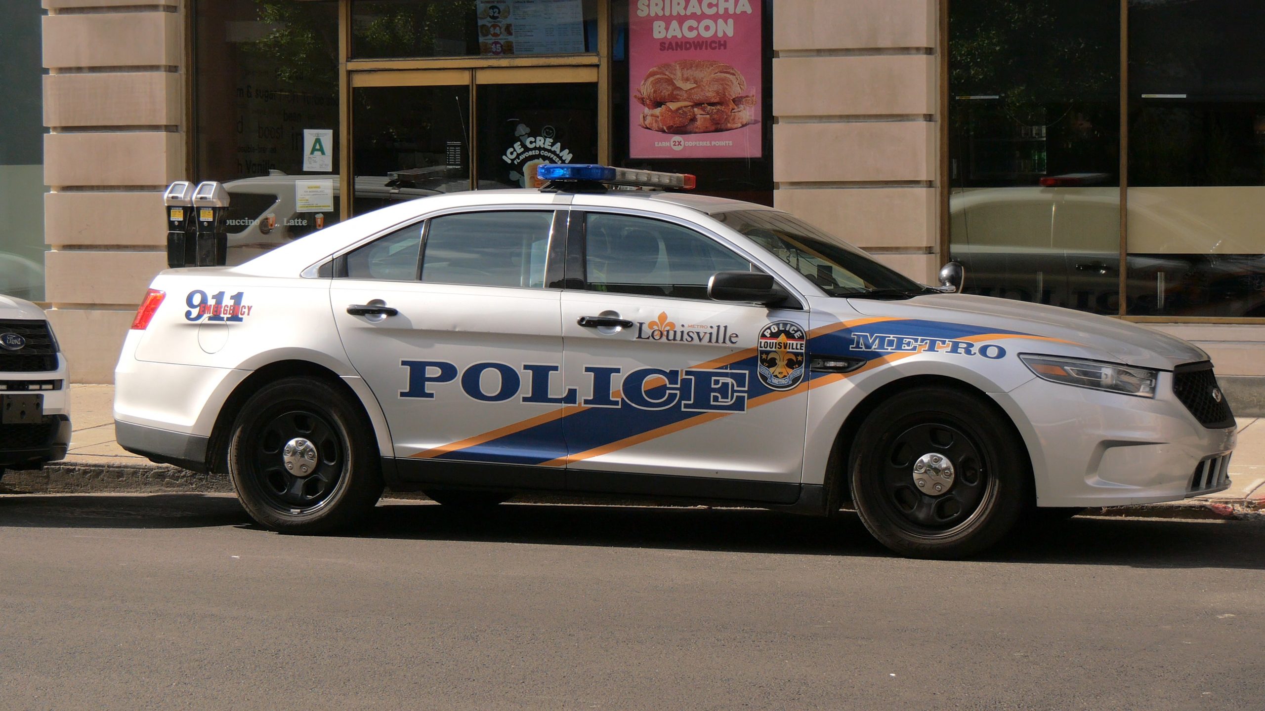
Police Officer
I would use KTSDS to look at areas where we may do targeted enforcement for dangerous human factors like speeding or impaired driving.

District Office
I would use KTSDS to do quick safety analysis for smaller research questions that don’t merit their own project.

The Press
I would use KTSDS to get important and timely information regarding safety for a news story, podcast, website, or social media post.

Concerned Citizen
I would use KTSDS to raise concerns over safety in my neighborhood.
The Kentucky Traffic Safety Data Service (KTSDS) is a program of the Kentucky Transportation Center.
176 Raymond Building, University of Kentucky, Lexington KY 40506.
Copyright © 2022 Kentucky Transportation Center, University of Kentucky.

